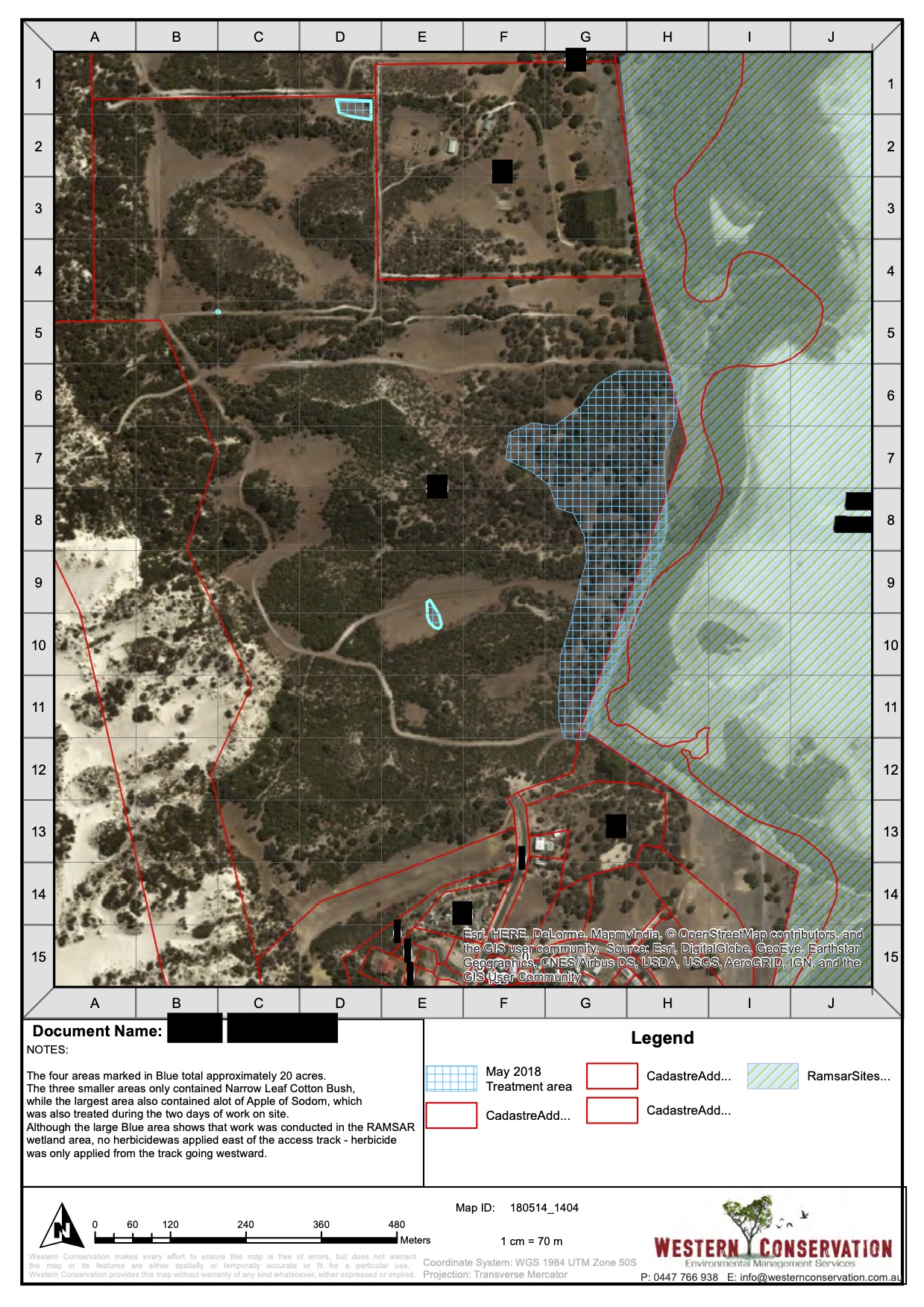
Western Conservation Vegetation Mapping
We employ Remote Piloted Aircraft (RPA) to collect aerial images and use handheld GPS for on-ground data collection.
Using these devices we can interpret, display and analyse the data with GIS software to create weed and vegetation maps that can assist you with funding applications as well as property and project management planning.
Western Conservation can provide you with a high quality vegetation mapping services. Contact us today!

.")
